
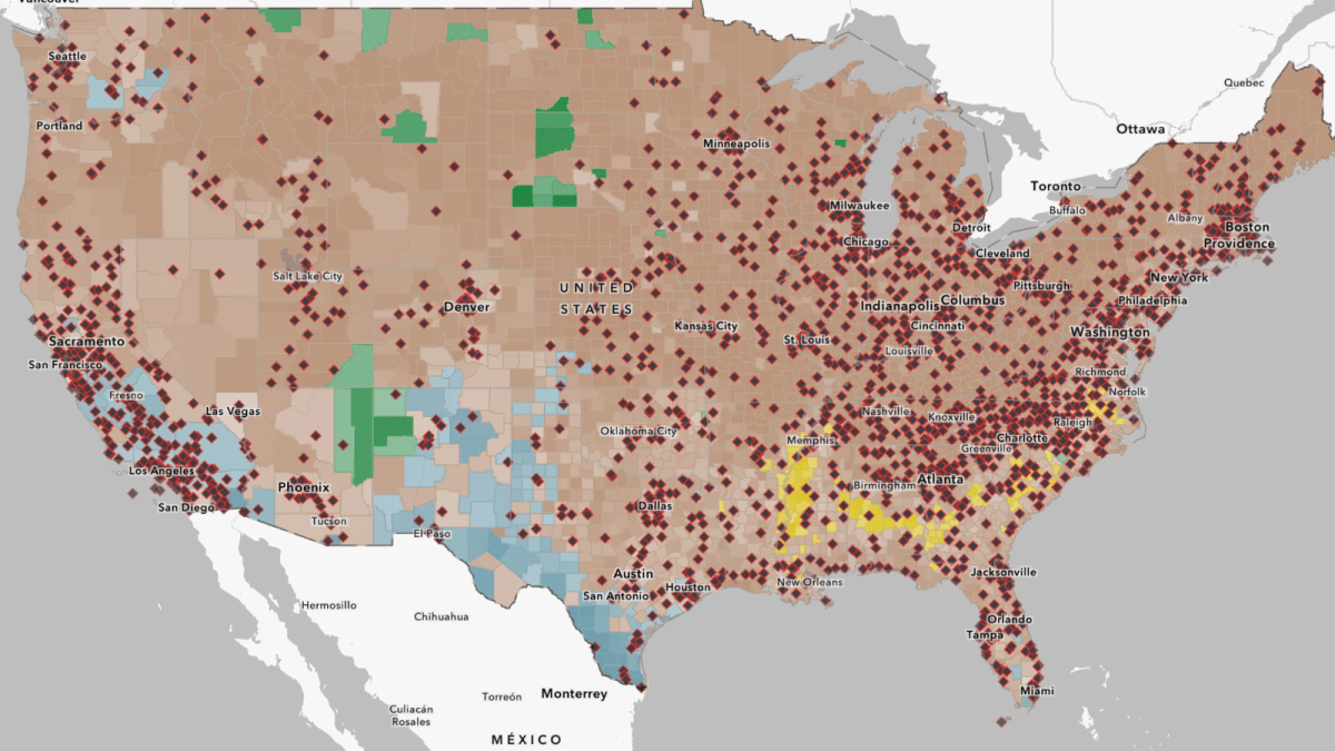

This interactive map has students investigate information about a local landfill, incinerator, or recycling facility using data displayed in map format. Click here for the full video page and educator materials. iFrames are not supported on this page.
Weather and Climate
Posted inU.S. History
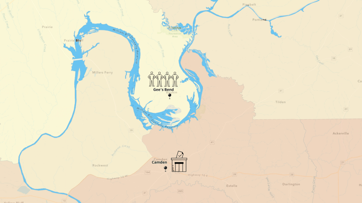
Interactive Map: How Geography Drove MLK’s Fight for a Ferry in Alabama
This interactive map invites students to use spatial thinking to analyze how the physical geography of the Gee’s Bend area has shaped its history. For an introduction to the tool, check out the National Geographic MapMaker website and videos. Click here for the full video page and educator materials. iFrames are not supported on this […]



Posted inWorld History
Interactive Map: Notable Natural Disasters Around the World
This interactive map explores notable natural disasters that have occurred around the world. Students can use this map to learn more about the causes, effects and long-term impact of each disaster. Four Retro Report short documentaries are linked on the map. It can be used in Science classes in conjunction with the lesson plan, Exploring Natural […]

Posted inCivics and Government
Lesson Plan: Hurricane Katrina and Disaster Response – Mini Lesson

Students will learn about Hurricanes Katrina and Sandy, examining the effects a major hurricane can have on communities.

Posted inU.S. History
Lesson Plan: The Yellowstone Fires of 1988
Students will learn how the Yellowstone fires of 1988 created a national controversy that challenged long-held assumptions about the role that fires should play in forestry policy.

Posted inLesson Plan
Lesson Plan: Harvesting the Rain
Students will explore the issue of water sustainability by examining the distribution of fresh water on Earth and using a physical model to simulate the implementation of rainwater harvesting practices.
Posted inVideo
Fighting Drought With an Ancient Practice: Harvesting the Rain


Ancient methods of collecting and storing rainwater are being used to address severe drought today.
