
Lesson Plan: Challenges of Urban Change: Colombia’s Metrocable System
 Grades 9-12
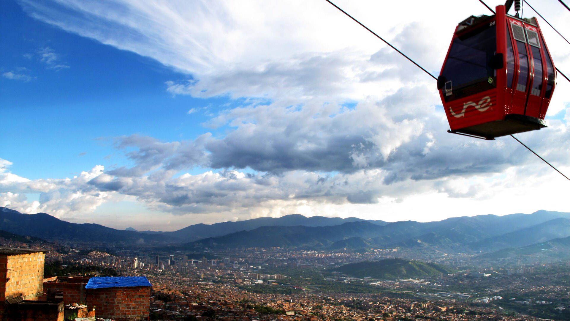
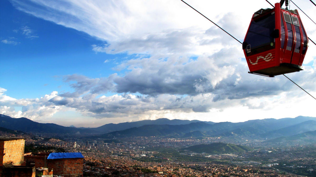
Densely populated cities often struggle to move people efficiently. In Medellín, Colombia, leaders turned to urban design to address that challenge, transforming a city once defined by violence. A key part of the effort was the Metrocable, an aerial cable car system that launched in 2004. Its success has inspired similar systems in cities around the world.



Subjects:
AP Human Geography, World Geography
-
This lesson can be used to teach several topics in AP Human Geography, including 6.1: The Origin and Influences of Urbanization, 6.6: Density and Land Use, 6.7: Infrastructure, 6.9: Urban Data, and 6.10: Challenges of Urban Changes.
-
This lesson can be used to teach within a unit on Latin America or cities and urban land use in a World Geography course.
Grade Level:
9-12
Lesson Duration:
One or two 45- to 60-minute class periods
-
Select “File>Make a Copy” to eliminate, edit, or reorder any of the sections on the activity handout, depending on the amount of time you have available to teach the lesson.
-
Note that successful completion of the “regional” story in the reflection at the end of the lesson depends on students having examined the map included in the lesson.
-
-
The Student Activity – Free-Response Question can be eliminated if the lesson is not being used with students taking an AP Human Geography class.
Essential Questions:
-
How do physical geography and resources impact the presence and growth of cities?
-
How are the attitudes, values, and balance of power of a population reflected in the built landscape?
-
How are urban areas affected by unique economic, political, cultural, and environmental challenges?
Lesson Objectives:
Students will:
-
Explain causes and effects of geographic change within rapidly growing urban areas.
-
Describe how physical geography impacts settlement and movement within urban areas.
-
Explain how quantitative and qualitative data are used to show the causes and effects of geographic change within urban areas.
Materials:
-
Retro Report video “The Future of Cities” (Transcript)
-
Student Activity handout
-
Optional
Procedure:
-
Begin by having students examine the image on the first page of the student activity for one minute without writing. Then give them three or four minutes to write what they see, think and wonder about the image using the questions on the handout as a guide for reflection.
-
Ask students to share their responses with a small group and/or select a few students to share their responses with the whole class.
-
Next, have students view the Retro Report film “The Future of Cities” (Transcript) and answer the questions on the corresponding section of the activity handout:
-
Explain why the population of Medellín grew from 300,000 to almost 3 million in just over 50 years.
-
Describe two specific challenges faced by migrants living in the periphery of Medellín.
-
Explain how regional planning efforts in public transportation connected the residents of Medellín’s unplanned settlements to the city.
-
Examine the following two quotes and explain how narratives such as this provide information about geographic change within urban areas.
-
Wilson Mejía says, “Before, a lot of people were ashamed to say they were from Santo Domingo. Now they live it with pride.”
-
Janice Perlman, the author of “Favela,” says, “The old way of thinking about slums was that they were a problem, an intractable, horrible problem that had to be dealt with by eliminating them. But the reality is that they’re the solution, and if they’re given the opportunity to contribute, they will be the key to sustainable cities in the future.”
-
-
-
After watching the film, ask students to share their responses with a small group and/or select a few students to share their responses with the whole class.
-
Next, ask the students to take a minute to examine the map of aerial cable car lines in Latin America and then answer the questions on the handout that follow the map:
-
Describe what the map seems to indicate about the influence of Medellín’s aerial cable car system.
-
Explain how the physical geography of Latin America might have influenced the adoption of aerial cable cars in several other cities in the region.
-
-
Ask students to share their responses to the questions accompanying the map with a small group and/or select a few students to share their responses with the whole class.
-
After students analyze the map, ask them to read the three quotes from residents of cities outside Medellín that have adopted aerial cable cars, focusing on a benefit or limitation of the use of aerial cable cars:
-
“For most of my life, traveling the six and a half miles from Metro Constitución, at the end of the green line, to my neighborhood of Santa Marta took 90 minutes, and everyone knew the threat of getting mugged on the bus was high. Then, three years ago, things changed radically. Now, every day, I and 70,000 others travel those densely and chaotically urbanized miles in 35 to 40 minutes, 100 feet in the air, at the cost of 7 pesos, the equivalent of 40 cents, and without the threat of being robbed.” Source: Natalia Escobar: Riding the Cablebús Over Mexico City | Zocalo Public Square
-
“The mainstream press doesn’t report that the construction of the funicular tram and overhead cable car in Providência are being implemented from the top down, without any kind of community participation, and without any technical study proving the necessity of these modes of transport.” Source: Letter from Residents of Morro da Providência to the People of Rio | RioOnWatch
-
“During a visit to my hometown of La Paz in December, I was able to witness the construction of the first cement pillars that will sustain ‘Mi teleférico,’ the new cable car system connecting the cities of El Alto and La Paz. At first, my eyes could not believe it. Was this for real? A cable car system designed to connect two cities?… Some of the positive attributes of these cable cars include…cleaner transport than the dirty-diesel spewing minibuses that roam between the two cities.” Source: Mauricio Ríos: Hop on the car and zip down to La Paz | World Bank Blogs
-
-
Ask students to share their responses to the quotes with a small group and/or select a few students to share their responses with the whole class.
-
Finally, have students reflect on the significance of transportation in urban areas from local, regional and global perspectives by answering the questions at the end of the Student Activity and/or have students respond to the partial free-response question.
About the Author:
Laura Kmetz has taught Social Studies and English Language Arts for more than 30 years as a teacher. She writes standards-based activities published by the National Council of Geographic Education and leads professional learning for AP Human Geography and AP Psychology teachers.
Standards
College, Career, and Civic Life (C3) Framework for Social Studies
-
D2.Civ.14.9-12: Analyze historical, contemporary, and emerging means of changing societies, promoting the common good, and protecting rights.
-
D2.Geo.2.9-12: Use maps,satellite images, photographs, and other representations to explain relationships between the locations of places and regions and their political, cultural, and economic dynamics.
-
D2.Geo.5.9-12: Evaluate how political and economic decisions throughout time have influenced cultural and environmental characteristics of various places and regions.
-
D2.Geo.6.9-12: Evaluate the impact of human settlement activities on the environmental and cultural characteristics of specific places and regions.
-
D2.Geo.8.9-12: Evaluate how economic globalization and the expanding use of scarce resources contribute to conflict and cooperation within and among countries.
-
D2.Eco.1.9-12: Analyze how incentives influence choices that may result in policies with a range of costs and benefits for different groups.
AP Human Geography Course and Exam Description
-
PSO-6.A: Explain the processes that initiate and drive urbanization and suburbanization.
-
IMP-6.A: Explain how low-, medium-, and high-density housing characteristics represent different patterns of residential land use.
-
IMP-6.B: Explain how a city’s infrastructure relates to local politics, society, and the environment.
-
IMP-6.E: Explain how qualitative and quantitative data are used to show the causes and effects of geographic change within urban areas.
-
SPS-6.A: Explain causes and effects of geographic change within urban areas.
Common Core Literacy Standards
-
CCSS.ELA-LITERACY.RH.11-12.7: Integrate and evaluate multiple sources of information presented in diverse formats and media (e.g., visually, quantitatively, as well as in words) in order to address a question or solve a problem.
-
CCSS.ELA-LITERACY.RH.11-12.9: Integrate information from diverse sources, both primary and secondary, into a coherent understanding of an idea or event, noting discrepancies among sources.
-
CCSS.ELA-LITERACY.RH.9-10.1: Cite specific textual evidence to support analysis of primary and secondary sources, attending to such features as the date and origin of the information.
-
CCSS.ELA-LITERACY.RH.9-10.7: Integrate quantitative or technical analysis (e.g., charts, research data) with qualitative analysis in print or digital text.
-
CCSS.ELA-LITERACY.WHST.9-10.9: Draw evidence from informational texts to support analysis, reflection, and research.
