
This interactive map explores notable natural disasters that have occurred around the world. Students can use this map to learn more about the causes, effects and long-term impact of each disaster. Four Retro Report short documentaries are linked on the map. It can be used in Science classes in conjunction with the lesson plan, Exploring Natural […]
Interactive

Posted inEducation
Interactive Map: Population Policies Around the World
This interactive map delves into the population policies and population trends of 21 countries. It can be used in Geography classes in conjunction with the lesson plan, Population Policies Around the World. This map was made in consultation with Retro Report Council of Educators members Chuck Taft, who teaches U.S. History in Milwaukee and Clayton […]

Posted inEducation
Interactive Map: Key Moments in LGBTQ+ History
This interactive map explores key moments in LGBTQ+ history, from the Stonewall uprising in New York City to Obergefell v. Hodges, the Supreme Court decision that guaranteed marriage equality to same-sex couples. Students can learn about activists and organizations committed to fighting for LGBTQ+ rights, as well as significant court cases, legislation and events through […]
Posted inEducation
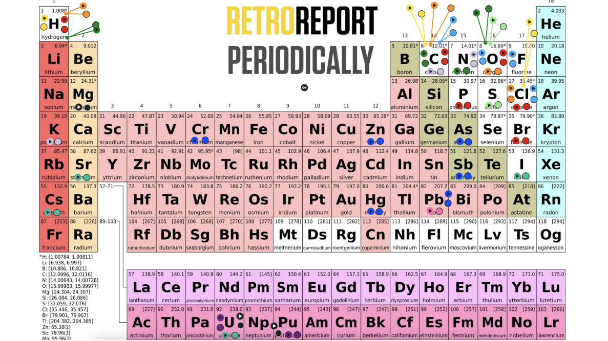
Interactive: Retro Report Periodically
This interactive resource connects Retro Report short docs to elements in the periodic table, complete with illustrations and explanations of the relevant elements. Students can learn more about particular elements and chemical compounds and watch Retro Report short docs that explore how science, history and society intersect. This map was made in consultation with Retro […]

Posted inEducation
Interactive Timeline: 25 Supreme Court Cases That Shape Our World Today
This interactive timeline explores twenty-five Supreme Court cases that shape our world today. Students can review the required cases in the AP Government curriculum, among others. Many of the cases are accompanied by a Retro Report short doc, which delves into the story of the case and its connection to today.

Posted inInteractive
Interactive Map: Retro Report Around the World
Retro Report short docs feature reporting from around the world. Educators, explore our library to find videos for you to use in the classroom.

Posted inEducation
Interactive Map: Indigenous Activism in the United States
This interactive map enables students to examine key Indigenous activism events throughout the United States over the course of decades. It includes photos, videos and additional resources for further investigation. For related lesson plans and student activities, visit the Contemporary Indigenous History Collection.
Posted inInteractive
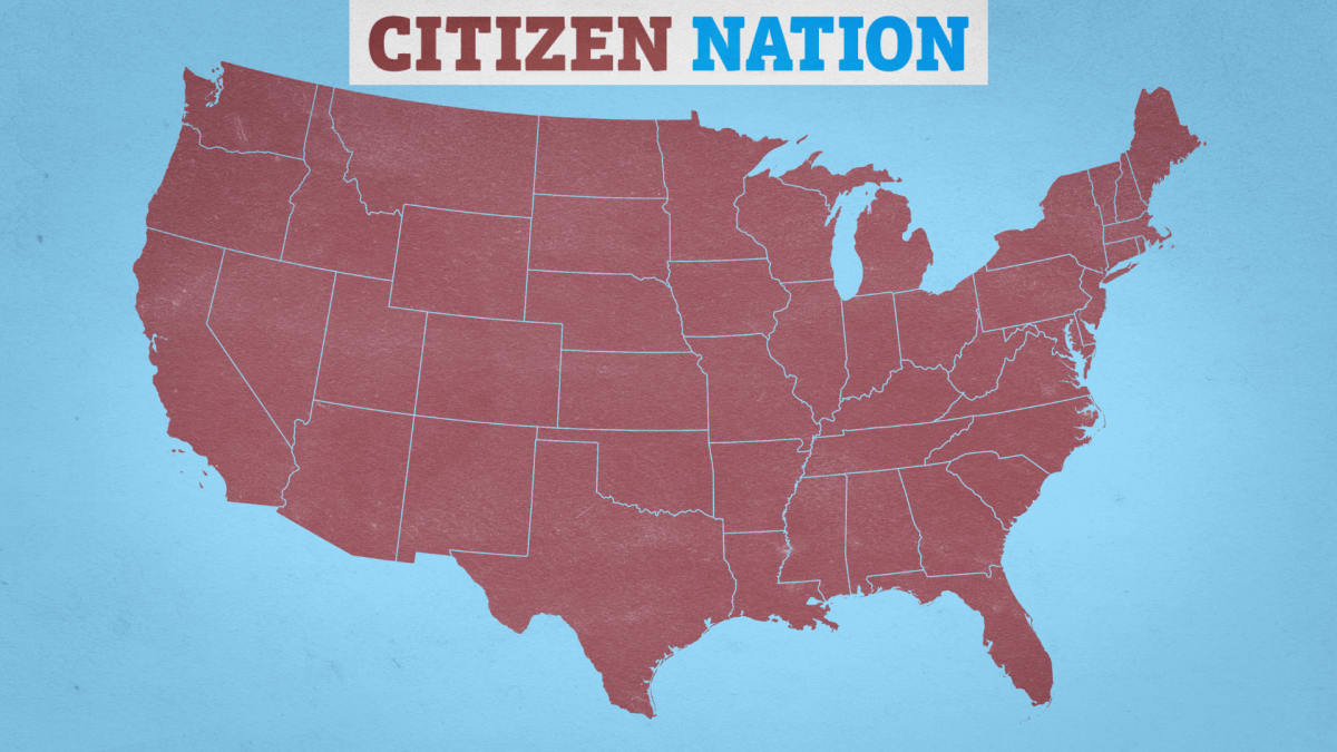
Interactive Map: Meet the Stars of ‘Citizen Nation’
“Citizen Nation,” a new four-part Retro Report series, is an inspiring coming-of-age story that follows teenagers from across the U.S. with diverse personal and political backgrounds as they come together to compete in We the People, the nation’s premier civics competition. Stream the series here or on PBS, Prime Video and YouTube.

Posted inInteractive
Interactive Map: The Red Record of Lynching
The data for this map was compiled by Ida B. Wells, with assistance from other organizations. It documents the number of lynchings in each state between 1889 and 1921. There were a total of 3,424. Congressman Leonidas Dyer introduced this map into the Congressional record in 1922 as he introduced his Anti-Lynching bill. Click here […]

Posted inInteractive
Interactive Map: Pythons Observed in Florida
This interactive map displays sightings of Burmese pythons in the state of Florida. These pythons are an invasive species and have had a harmful effect on local wildlife. Explore the map by zooming in. Click here for the full video page and educator materials.
